Jump to:
The Shiretoko Peninsula is the dramatic, windswept, easterly tip of Hokkaido, with only Cape Nosappu to the south being further east.
It was known in the indigenous Ainu language as the "end of the world" and is really rather remote, with few roads and plenty of bears.
who's been there

Start planning your tailor-made trip to Shiretoko National Park by contacting one of our Japan specialists
-
01993 838 92501993 838 210
- Make an enquiry
Suggested itinerary featuring Shiretoko National Park
This sample itinerary will give you an idea of what is possible when you travel in Shiretoko National Park, and showcases routes we know work particularly well. Treat this as inspiration, because your trip will be created uniquely by one of our specialists.
Photos of Shiretoko National Park
-
![Hokkaido mountain view]() Hokkaido mountain view
Hokkaido mountain view -
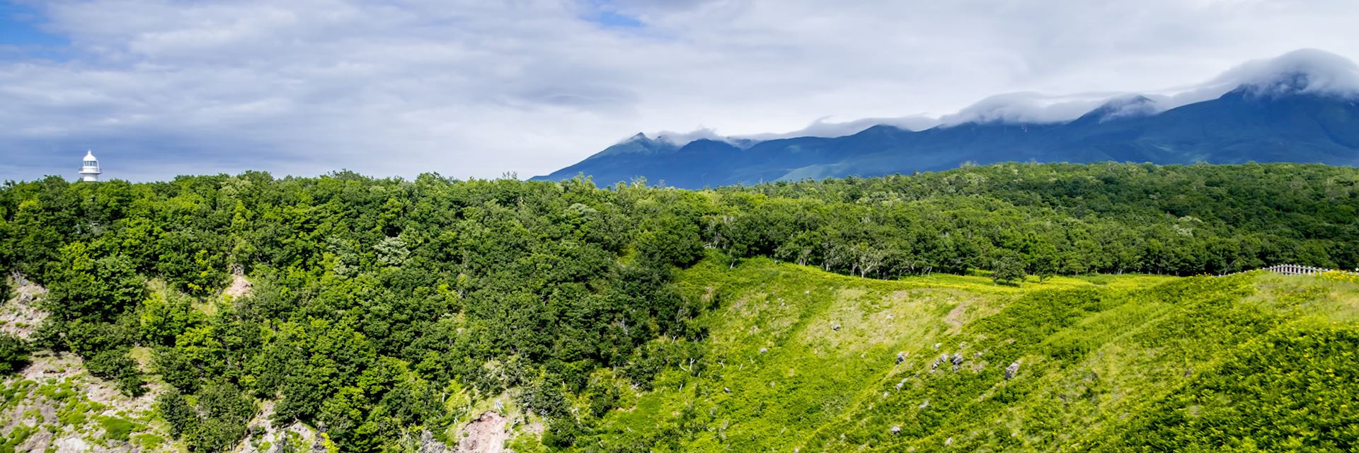
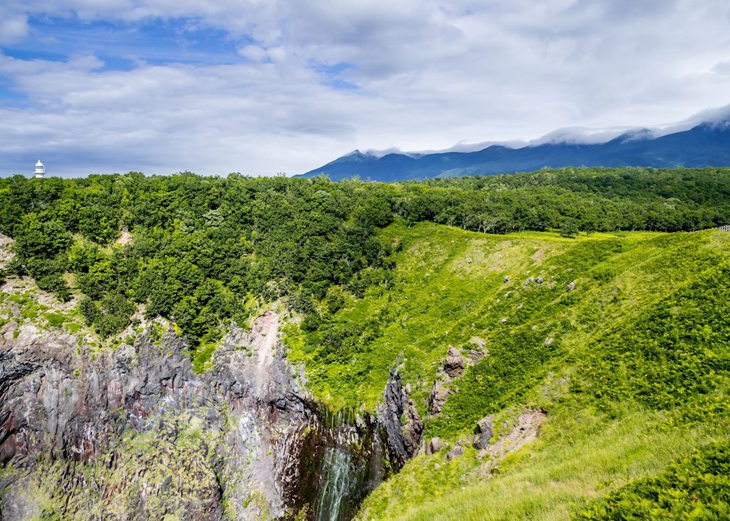
![Shiretoko National Park]() Shiretoko National Park
Shiretoko National Park -
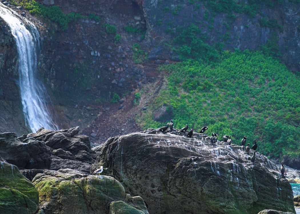
![Cormorants, Shiretoko National Park]() Cormorants, Shiretoko National Park
Cormorants, Shiretoko National Park -
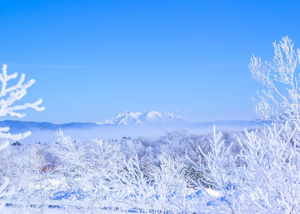
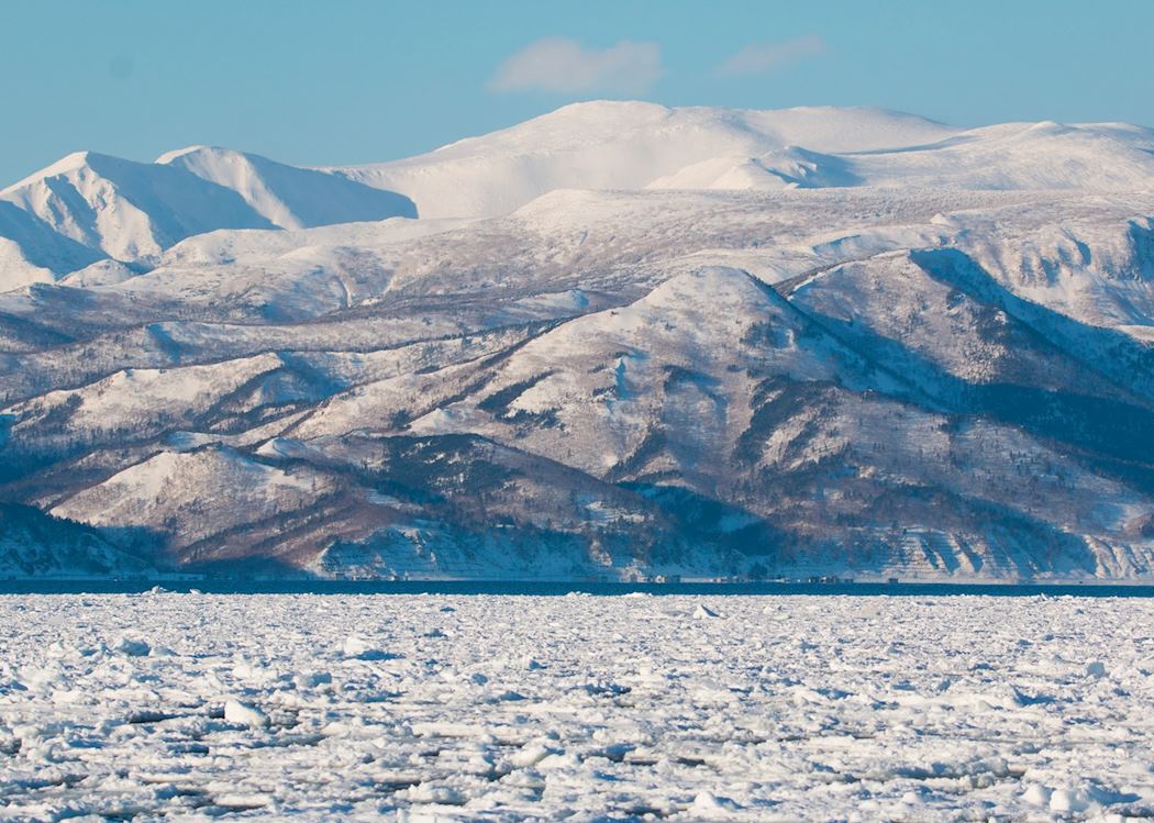
![Hokkaido drift ice]() Hokkaido drift ice
Hokkaido drift ice -
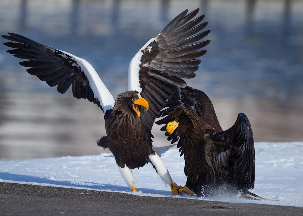
![Steller's sea eagle in Hokkaido]() Steller's sea eagle in Hokkaido
Steller's sea eagle in Hokkaido -
![Five lakes, Shiretoko National Park]() Five lakes, Shiretoko National Park
Five lakes, Shiretoko National Park -
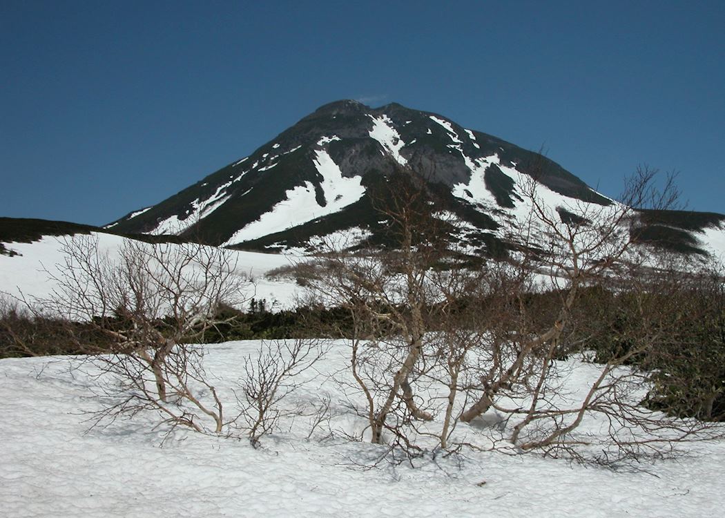
![Mt Rausu, Shiretoko National Park]() Mt Rausu, Shiretoko National Park
Mt Rausu, Shiretoko National Park -
![Shiretoko national park]() Shiretoko national park
Shiretoko national park

Our expert guides to exploring Shiretoko National Park
Written by our specialists from their own experiences of visiting Shiretoko National Park, these guides will help you make the most of your time there. We share both our practical recommendations and the best ways to appreciate Shiretoko National Park at its best.
-
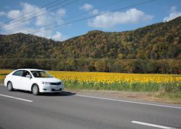
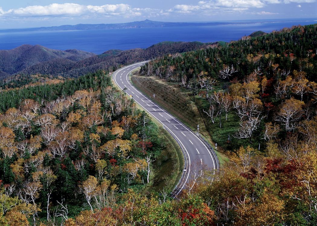
Driving in Japan: Hokkaido Island ![Driving in Hokkaido]()
Driving in Japan: Hokkaido Island
Driving in Japan: Hokkaido Island
Hokkaido, Japan’s northernmost island, is a volcanic, alpine-forested wilderness with bubbling hot springs and vivid-blue caldera lakes. Japan specialist Toby explains how you can make the most of your visit by self-driving across the island.
Read this guide