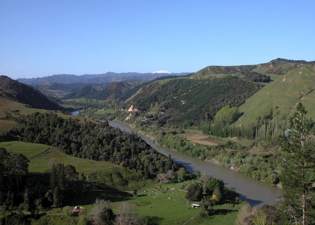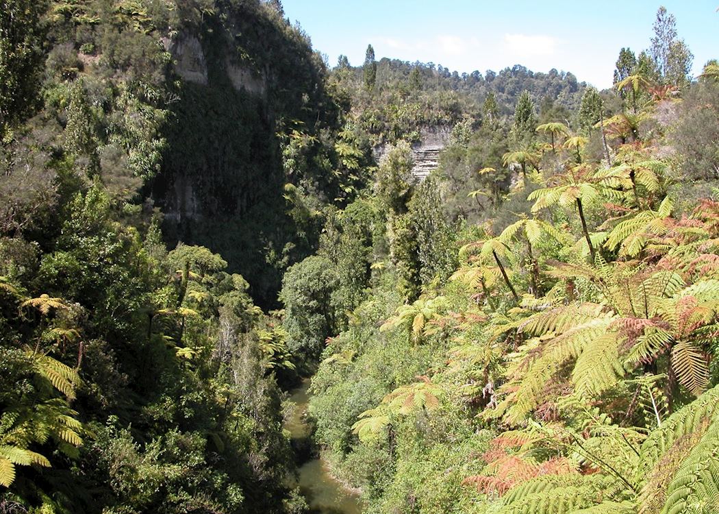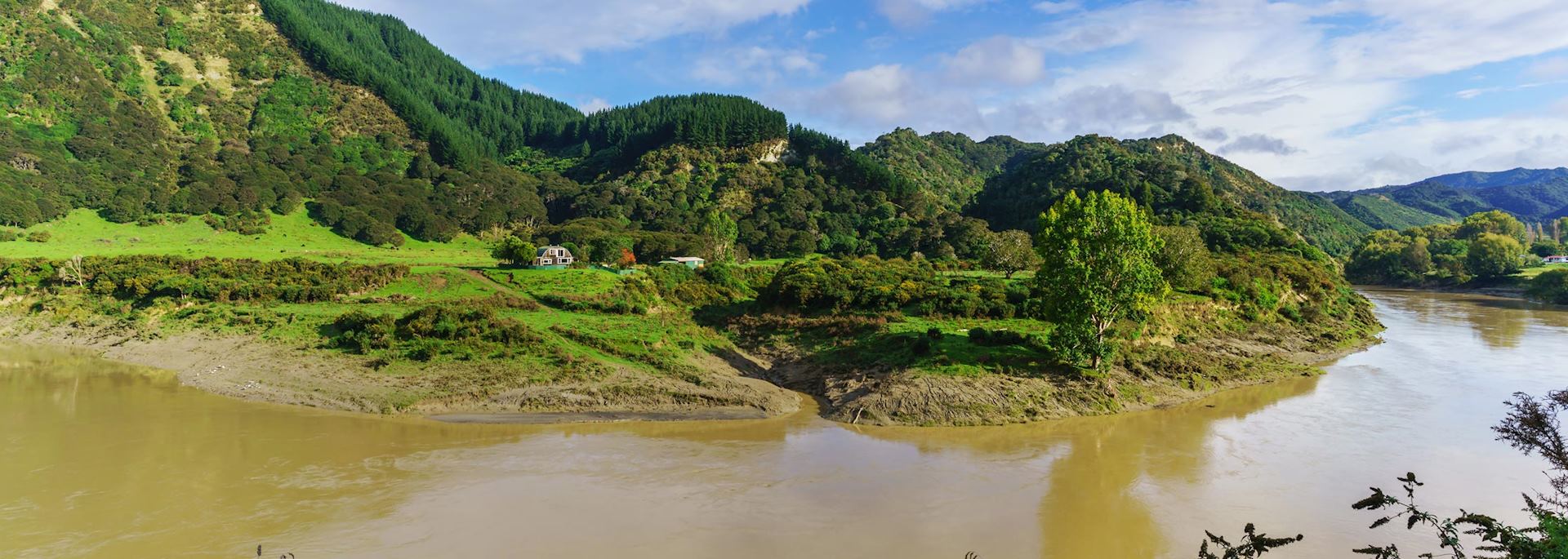
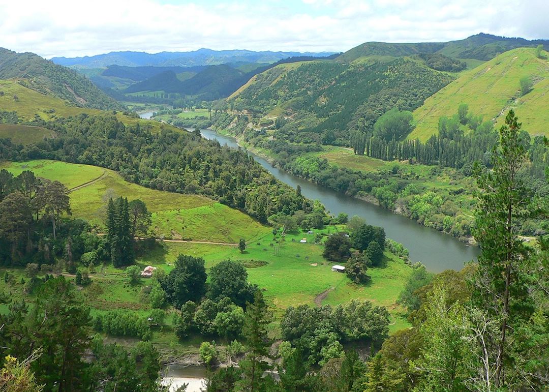
Whanganui National Park, the largest lowland native forest in the North Island, cloaks the impressive Whanganui River. After years of erosion, stunning gorges and v-shaped valleys adorned with native ferns and variations of podocarpus have emerged.
Throughout the forest there are a host of short and long walks; most popular is the ancient trail of the Matemateaonga Track which takes four to five days to complete.
Whanganui River
From its source at the base of the Tongariro Mountains the river flows into the Tasman Sea, creating the longest navigable waterway in New Zealand.
This great body of water was an important transport route for first the Māori and then the European settlers, but these days the sedate river is a popular place for kayakers to enjoy the peaceful forest fringe.
The Bridge to Nowhere
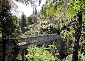 An unusual feature of the Whanganui River region is the famous ‘Bridge to Nowhere’. In the early 1900s, settlers struggled for many years in an attempt to create viable farmland, and built an impressive bridge to connect the remote Mangapurua valley with the road.
However, their attempts failed, and the forest soon reclaimed the land and the track leading to the bridge. Today it remains as a testament to the determination of these first settlers.
Trips take you by road up to Pipiriki, then by jet boat up to Mangapurua Landing, accessible only from the river, where a guided walk through the lush native bush explores the ‘Valley of Abandoned Dreams’; home of the forsaken bridge.
who's been there

Start planning your tailor-made trip to Whanganui National Park by contacting one of our New Zealand specialists
-
01993 838 92501993 838 820
- Make an enquiry
Places near Whanganui National Park
- Tongariro National Park 56 miles away
- The Kapiti Coast 66 miles away
- Taranaki & New Plymouth 80 miles away
- Greytown 83 miles away
- Wairarapa & surrounds 87 miles away
- Martinborough 92 miles away
- North Island 93 miles away
- Wellington 95 miles away
- Hastings 98 miles away
- Marlborough Sounds 99 miles away
- Lake Taupo 103 miles away
- Napier 104 miles away
- Hawke's Bay 107 miles away
- Picton 109 miles away
- Waitomo 116 miles away
- Blenheim 124 miles away
- Abel Tasman National Park 130 miles away
- Nelson 131 miles away
- Collingwood & Farewell Spit 135 miles away
- Rotorua 140 miles away
- Kahurangi National Park 161 miles away
- Tauranga 167 miles away
- Bay of Plenty 168 miles away
- Waikato 178 miles away
- Eastland & Gisborne 183 miles away
- Kaikoura 186 miles away
- Thames & Kauaeranga Valley 195 miles away
- Coromandel Peninsula 213 miles away
- Hanmer Springs 214 miles away
- Auckland 214 miles away
- Devonport 216 miles away
- Waiheke Island 217 miles away
- Warkworth 246 miles away
- Punakaiki 246 miles away
- Great Barrier Island 260 miles away
- Arthur's Pass National Park 276 miles away
- Christchurch 279 miles away
- Hokitika 287 miles away
- Akaroa & Banks Peninsula 289 miles away
Photos of Whanganui National Park