Jump to:
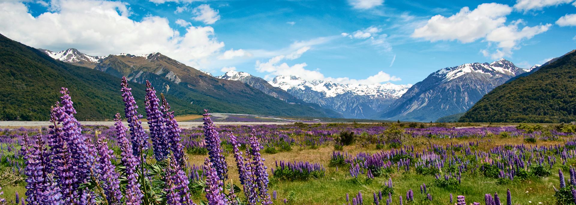
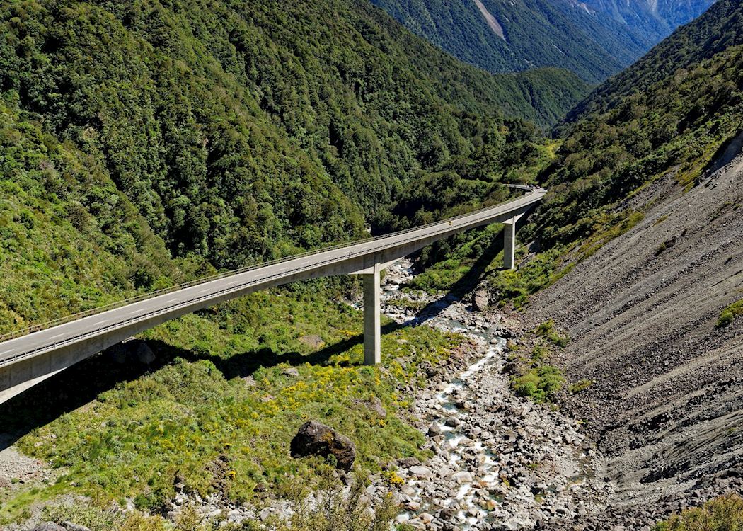
Snow-capped peaks abound on the route from Christchurch in the east to Greymouth on the rugged West Coast. Arthur’s Pass Township is only a small settlement on this dramatic road, first carved into the mountains in 1864 and later joined, in 1923, by the spectacular TranzAlpine Railway.
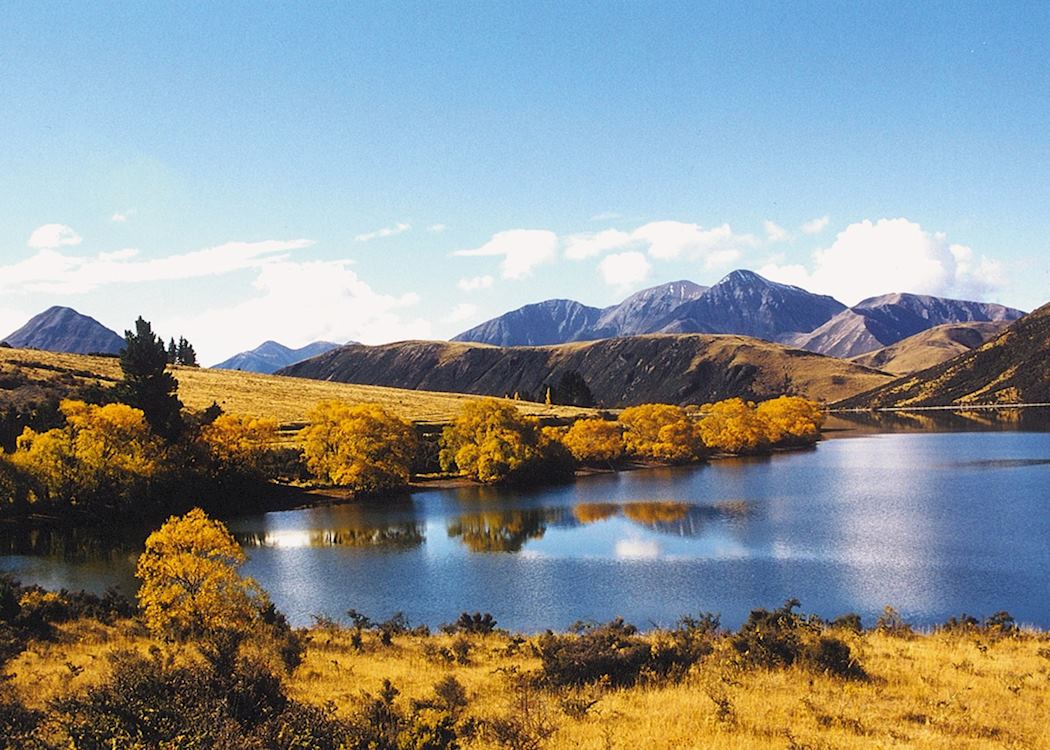
On the western side of the Alps, where the rainfall is high, the park is clad in a dense and varied rainforest and on the drier eastern slopes, mountain beech forests and tussock-covered river flats predominate.
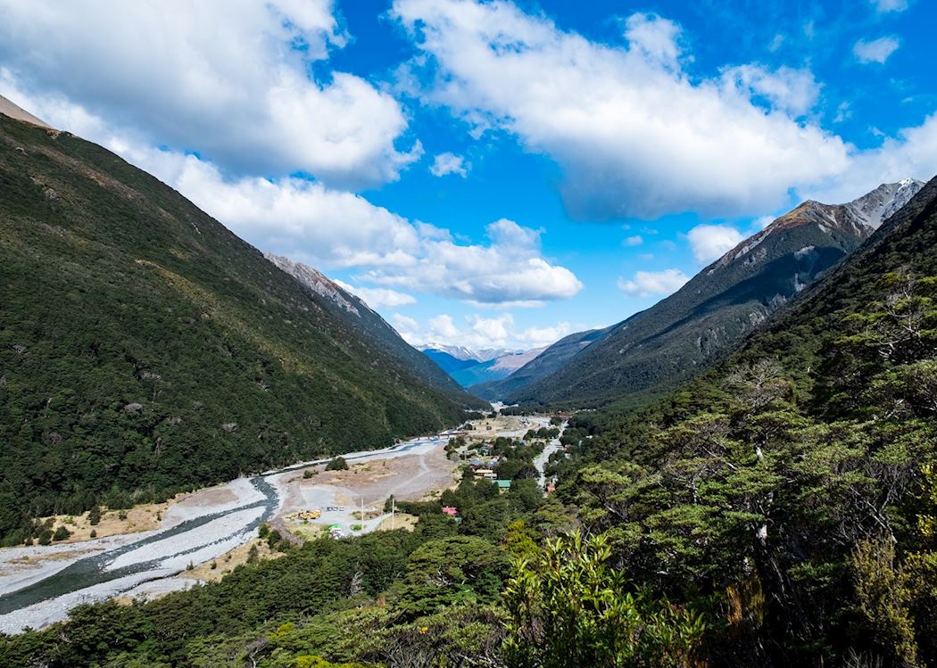
Exploring the park
Many of the peaks in the National Park area are over 2,000 m, with the highest being Mount Murchison at 2,400 m.
There are plenty of day walks: of particular note are the Bealey Valley Track, which is a three- to four-hour walk through Mountain Beech forests, or the walk to Devil’s Punchbowl, where a waterfall cascades magnificently over 100 metres.
who's been there

Start planning your tailor-made trip to Arthur's Pass National Park by contacting one of our New Zealand specialists
-
01993 838 92501993 838 820
- Make an enquiry
Suggested itinerary featuring Arthur's Pass National Park
This sample itinerary will give you an idea of what is possible when you travel in Arthur's Pass National Park, and showcases routes we know work particularly well. Treat this as inspiration, because your trip will be created uniquely by one of our specialists.
Places near Arthur's Pass National Park
- Hokitika 35 miles away
- Punakaiki 60 miles away
- Christchurch 68 miles away
- Hanmer Springs 71 miles away
- Fox & Franz Josef Glaciers 86 miles away
- Lake Tekapo 91 miles away
- Mount Cook National Park 92 miles away
- Akaroa & Banks Peninsula 93 miles away
- South Island 103 miles away
- Kaikoura 114 miles away
- Twizel 117 miles away
- Kahurangi National Park 132 miles away
- Nelson 146 miles away
- Abel Tasman National Park 158 miles away
- Blenheim 158 miles away
- Collingwood & Farewell Spit 168 miles away
- Picton 170 miles away
- Lake Wanaka 172 miles away
- Marlborough Sounds 180 miles away
- Arrowtown 194 miles away
- Wellington 201 miles away
- Queenstown 204 miles away
- Glenorchy 206 miles away
- The Otago Peninsula 207 miles away
- Dunedin 210 miles away
- Milford Sound 218 miles away
- The Kapiti Coast 228 miles away
- Martinborough 233 miles away
- Wairarapa & surrounds 238 miles away
- Greytown 239 miles away
- Te Anau & Manapouri 256 miles away
- Whanganui National Park 276 miles away
- Doubtful Sound 279 miles away
- The Catlins 280 miles away
- Taranaki & New Plymouth 300 miles away
Photos of Arthur's Pass National Park
Accommodation choices for Arthur's Pass National Park
We've selected a range of accommodation options for when you visit Arthur's Pass National Park. Our choices usually come recommended for their character, facilities and service or location. Our specialists always aim to suggest properties that match your preferences.
-
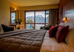
![Mountain View Room, Wilderness Lodge, Arthur's Pass]()
Wilderness Lodge
Arthur's Pass National Park