Tailor-made Canada holidays shaped around your passions
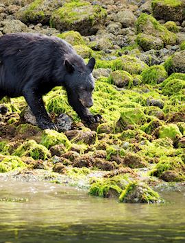
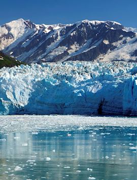
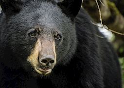
Bear watching in coastal rainforests, glacier-strewn mountains, chasing the northern lights… On a tailor-made holiday to Canada with Audley, you’ll see the highlights — and much more — your way. We’ll design your ideal trip with you, paying close attention to your interests, your travel style and your budget. Our Canada specialists know the country inside out and can lead you to experiences you won’t find in a guidebook.
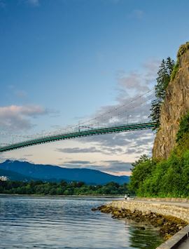
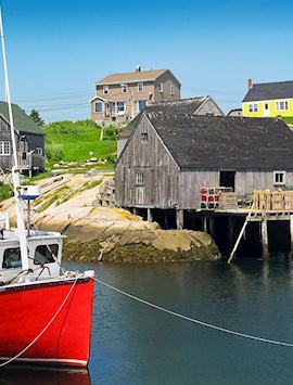
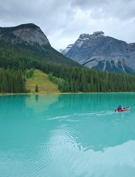
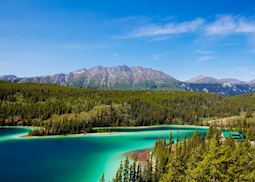
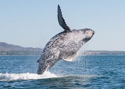
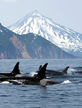
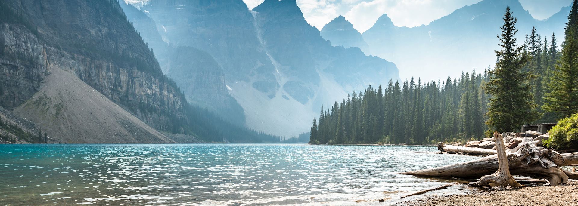
Walk along lesser-trodden paths in the Rockies with local guides, or go heli-hiking on mountainsides. Take a food tour of Vancouver’s Granville Island Public Market and cycle around Stanley Park with a guide. Spot orcas off the coast of Victoria. Hop between lighthouses and drive the twisting Cabot Trail in the Maritime provinces. Visit lesser-known lakes that glow spearmint-green. Follow in the footsteps of 19th- and 20th-century explorers by cruising past icebergs and looking out for whales and narwhals in the Northwest Passage.
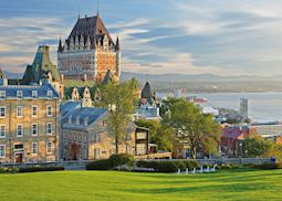
Rich First Nations heritage, Francophone culture in artsy Montréal, bosky islands explored by Zodiac boat or canoe, the cobbled streets of Old Québec… What excites you? Travel at your own pace, in your own style, with the confidence that we’ll show you the best options, wherever you go.
Suggested tours for Canada
Hike around glowing blue lakes in the Rockies, kayak in Bay of Fundy to experience the world’s highest tides, and watch polar bears near Churchill. Our suggested itineraries are a great starting point as you begin to plan your trip to Canada.
Suggested activities for Canada
Take a bear-watching cruise on Clayoquot Sound, enjoy a private walking tour of Québec City, and watch the rodeo at the Calgary Stampede. Whatever your interests, our specialists will suggest experiences designed to enhance your trip to Canada.
-
Transcontinental train trip on the Canadian ![Dining room, The Canadian]()
Transcontinental train trip on the Canadian
VancouverTranscontinental train trip on the Canadian
Considered one of the world’s great rail journeys, The Canadian offers the ultimate transcontinental train trip.
View details -
Calgary Stampede Rodeo ![Cowboy in Calgary, Canada]()
Calgary Stampede Rodeo
CalgaryCalgary Stampede Rodeo
Watch competitors from around the world compete to win the richest prize in rodeo, visit the Stampede Park for fairground rides, live music, an agriculture showcase, and more.
View details -
Pathways of the Algonquin 3 day kayak tour ![Algonquin Provincial Park]()
Pathways of the Algonquin 3 day kayak tour
Algonquin Provincial ParkPathways of the Algonquin 3 day kayak tour
Take to the waters and pathways of Algonquin Provincial Park on this two-night canoe and hiking tour. You’ll stay in a remote log cabin and have the opportunity to follow in the footsteps of the Algonquin people who called the area home.
View details
Why travel with Audley?
- 100% tailor-made tours
- Fully protected travel
- Established for over 25 years
- 98% of our clients would recommend us
Best time to visit
Our specialists advise on the best months to visit Canada, including information about climate, events and festivals.
Request our brochure
Covering all seven continents, The World Your Way shows you how you can see the world with us. It features trip ideas from our specialists alongside hand-picked stays and experiences, and introduces our approach to creating meaningful travel experiences.

Useful information for planning your holiday in Canada
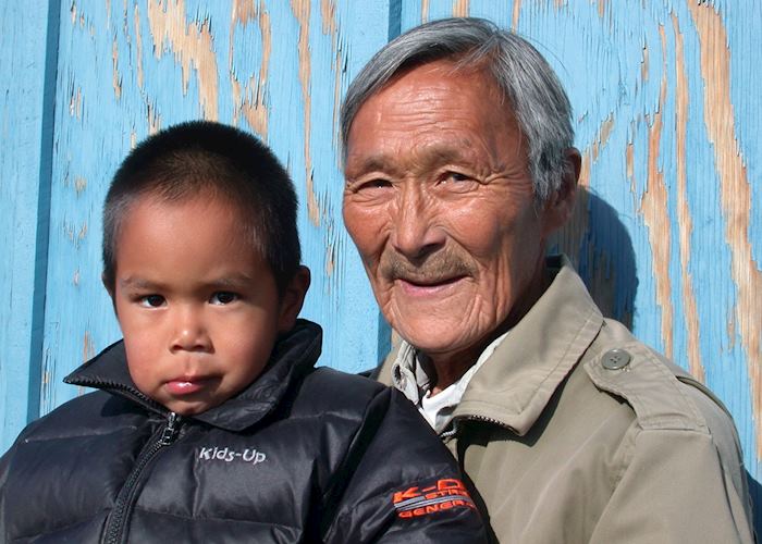
There are two official languages spoken in Canada, English and French. There are also around 70 ancestral languages spoken in Canada by First Nations, Méti people, and Inuit populations.
Canada’s official currency is the Canadian dollar (CAD).
In Canada, you can try everything from poutine and fresh lobster in the east to Pacific Rim fusion cuisine in the west. The food varies by region, but you’ll find plenty of international restaurants, particularly in the cities.
Québec is known for poutine — fries and cheese curds topped with gravy. Along the coast, you can dine on fresh seafood including salmon, cod, chowder, and some of the world’s largest lobsters, while the Pacific Coast has developed its own Pacific Rim fusion cuisine with Asian and Pacific-island influences. Inland, meals are more likely to include locally raised meats, with barbecues and steaks firm traditions.
Sweet treats and breakfast pancakes will often include one of the country’s most popular exports, maple syrup. Canada also produces its own wine — the Okanagan Valley is one of the best-known wine regions, or you can try ice wine in Ontario’s Niagara region.
In Canada, you should expect to tip between 15% and 20% for good service in a restaurant or for a taxi journey. Tipping is very much part of the culture in Canada, so it’s a good idea to have some smaller change to tip bar staff, hotel porters, taxi drivers, etc.
For the latest travel advice for Canada, including entry requirements, health information, and the safety and security situation, please refer to the Foreign, Commonwealth & Development Office website.
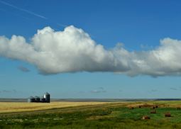
Canada is best known for outdoor adventure, and your trip might focus on exploring the wild, varied landscapes of lakes, mountains, forests, and sweeping prairies. You could follow hiking or biking trails, paddle a canoe or kayak, or spend time spotting wildlife like bears, whales, moose, wolves, bison, and bald eagles. In winter, you could go dog-sledding, snowshoeing, or snowmobiling, see polar bears gather around Hudson Bay, and spot the northern lights.
In Canada’s cities, you can visit museums that explore the country’s heritage, culture, and art. Guided walking tours tell you more about its history or food, and you can take advantage of the many bars, restaurants, shops, and galleries.
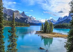
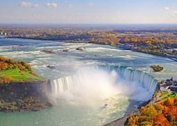
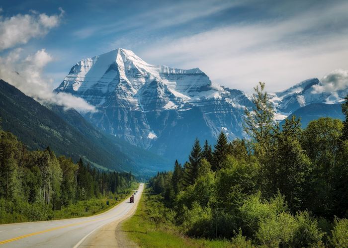
Scenic road trips are also a highlight, whether you’re following Nova Scotia’s Cabot Trail for views over the ocean or driving among the soaring, glacier-clad mountains of the Canadian Rockies, pausing to admire waterfalls and turquoise lakes.
Where you should visit in Canada depends on what you want to experience, because it’s such a large country. British Columbia — including Vancouver Island — is best for wildlife, whether it’s whale-watching trips or spotting black and grizzly bears from a remote lodge. You might also encounter First Nations culture here, especially if you visit Haida Gwaii. Further inland in Alberta, you can stay in historic mountain towns like Jasper and Banff and explore the Canadian Rockies’ epic landscapes, perhaps taking a scenic helicopter flight.
In eastern Canada, you can hop between cities like Toronto, Montréal, and Québec City by train to explore their history, culture, and food scenes. Alternatively, visit the Atlantic provinces — Nova Scotia, New Brunswick, Prince Edward Island, and Newfoundland & Labrador — which are ideal for a coastal road trip that explores Canada’s maritime heritage.
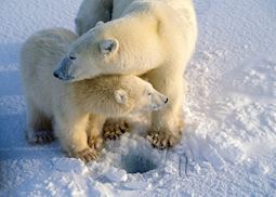
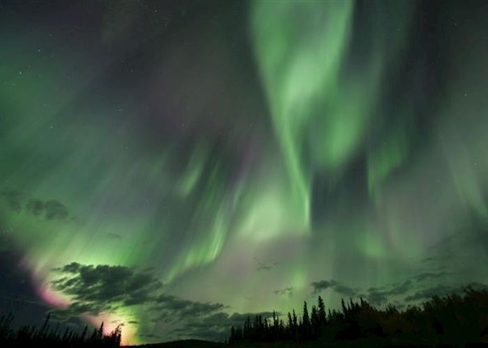
Visit Churchill, Manitoba to spot polar bears, or the Yukon to see former gold-mining towns and, in winter, the northern lights.
You’ll need to purchase a pass to visit Canada’s national parks. You can buy these on the Parks Canada website or on entry to the national park you’re visiting, though you may need to wait in line if it’s busy. You can choose to buy a single-location pass, or if you’re visiting several national parks on your trip it may be better value to buy an annual Parks Canada Discovery Pass, which grants you access to more than 80 destinations for 12 months. Your specialist will help advise on which pass would be best for you and how to purchase it.
It’s best to book a trip to Canada 6 to 12 months in advance, especially if you’re planning to visit during the busiest period of June to September. The best hotels in Canada fill up early, particularly bear-watching lodges and other wilderness retreats.
We tend to handpick stays that have fewer rooms and give you a more intimate experience, so we recommend planning ahead to secure your top choices. We’ll also help you avoid the busiest areas by suggesting lesser-known routes and alternative experiences that take you away from the crowds while still enjoying Canada’s highlights.
Canada has a wide choice of places to stay, whether you’re looking for a luxurious hotel, intimate B&B, remote wilderness lodge, or something completely different like a traditional ranch, log cabin, or even a lighthouse. You can browse our collection of places to stay for ideas.
The flight time from the UK to Canada is between 5 hours 30 minutes to reach the east coast and 11 hours to reach the west coast.
The time zone in Canada varies from UTC -3:30 in Newfoundland & Labrador on the east coast to UTC -8 in British Columbia on the west coast. Canada spans six of the world’s 24 time zones.
For most of Canada, self-driving is the best way to get around. You might need to use a ferry or travel by seaplane or water taxi depending on where you’re visiting. Alternatively, you could have a private driver or use public transport like trains, buses, and taxis.
Use our travel tool to find up-to-date visa and passport requirements for Canada. Enter where you’re travelling to and from (including any stopover destinations en route or flight layovers), along with your intended travel dates and passport details, for a full list of requirements.
Your doctor can provide you with vaccine advice for Canada, but you should also make sure you’re up to date with the recommended vaccinations for your home country. You can also check the suggested vaccinations for visiting Canada on the Travel Health Pro website.
Canada by region
If you’re planning to focus your time in Canada around a particular area, you can jump into the region you're most interested in to find detailed itinerary ideas together with accommodation choices and a taster of the experiences we can offer.
Canada in pictures
Our expert guides to travelling in Canada
Written by our specialists from the viewpoint of their own travels, these guides will help you decide on the shape of your own trip to Canada. Aiming to inspire and inform, we share our recommendations for how to appreciate Canada at its best.
-
![Winter Canada and Alaska with Audley Travel]()
Winter Canada and Alaska with Audley Travel
Canada and Alaska aren’t for hibernating in winter. From dog-sledding and snowmobiling through icy forests to joining in with winter festivals and seeing the northern lights, our video shows just some of the activities you can enjoy when winter calls.
-
Self-drive holidays in Canada ![Jasper National Park]()
Self-drive holidays in Canada
Self-drive holidays in Canada
Whether you choose a route circuiting western Canada’s renowned mountains, glaciers and lakes, or you’d rather go off-grid exploring the traditional fishing villages and coastal drives of the Maritimes, Canada’s well-maintained, easily navigable roads make it an excellent self-drive destination.
Read this guide -
Highlights of the Canadian Rockies ![Banff National Park]()
Highlights of the Canadian Rockies
Highlights of the Canadian Rockies
With glacier-fed lakes, thick pine forests and sharp, triangular mountains, the Canadian Rockies are a true wilderness area. Activities can include hiking, canoeing and visiting glaciers. Canada specialist Emily explains how you can make the most of your trip to the Rockies.
Read this guide -
In the path of the grizzly: bear watching in Canada ![Grizzly bear, British Columbia]()
In the path of the grizzly: bear watching in Canada
In the path of the grizzly: bear watching in Canada
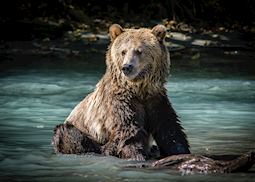
Canada is well-known for its wildlife, but the stars of the show are arguably its resident bears. These often solitary creatures can be difficult to find, but our Canada specialists can recommend intimate bear-watching experiences that allow you to see them in their natural habitat.
Read this guide -
Canada’s Maritime Provinces ![Humpback whale breaching, British Columbia]()
Canada’s Maritime Provinces
Canada’s Maritime Provinces
Canada’s Maritime Provinces offer a quieter alternative to the west coast. Here, you can follow coastal roads to secluded coves and traditional lighthouses. Visit peaceful fishing villages where saltbox houses line the waterfront. And, explore the area’s Celtic roots. Canada specialist Jon shares his highlights of the region.
Read this guide
Other popular destinations
Still looking for ideas? If Canada has captured your interest, we think you might also like these destinations.


